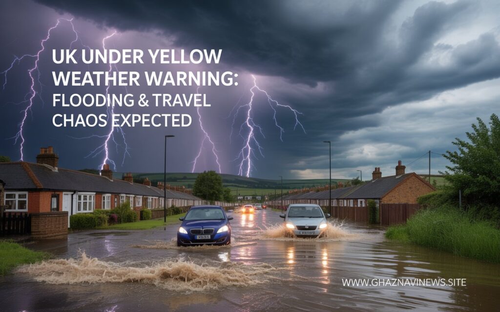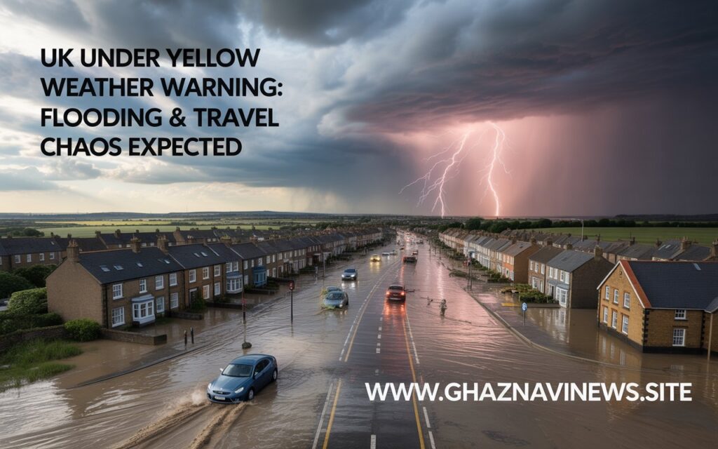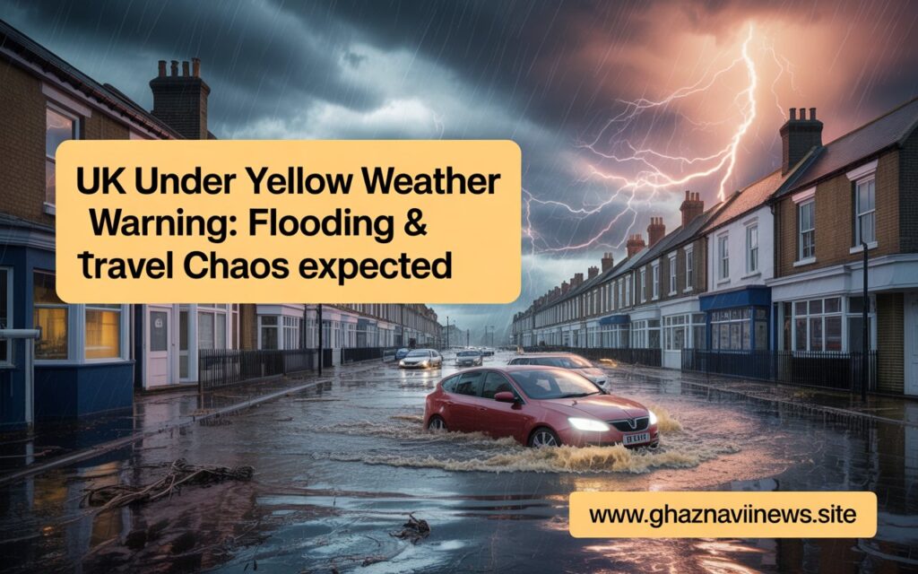
Severe Weather Warning Issued: Thunderstorms and Flash Flood Risks Across Parts of the UK
The UK Met Office has issued a yellow weather warning for thunderstorms, warning of potential disruption due to heavy rainfall, localized flooding, and lightning damage. The alert is in effect from 11 AM to 6 PM today, covering parts of northeast England and southeastern Scotland.

According to meteorologists, some areas may experience significant travel delays, building damage, and service disruptions due to fast-moving storm systems and intense downpours.
Disruption Expected in Affected Regions
The Met Office alert outlines a clear risk of standing water and spray on roads, which could lead to longer travel times for both private and public transport.

“Driving conditions are likely to be affected in several places due to spray and surface water,” the warning states, “causing delays for those travelling by car or bus.”
In addition to road issues, there is a possibility of train delays and minor flooding affecting homes and businesses. The combination of lightning strikes and saturated ground could also lead to short-term power outages in scattered locations.

Localized Heavy Rainfall Possible
Weather forecasters expect intense bursts of rain, particularly during the early to mid-afternoon. While some locations may receive only light rainfall, others could see as much as 15-20mm of rain in under an hour, significantly increasing the risk of surface water flooding.
In areas hit by repeated downpours, up to 30mm of rain could fall within 2 to 3 hours, potentially overwhelming local drainage systems.
What to Expect
- Slower travel times due to wet road conditions
- Localized flash flooding in low-lying or poorly drained areas
- Risk of lightning-related damage to structures
- Possible interruptions in electricity and digital services
- Delays or temporary halts in regional train services
The Met Office urges people in affected zones to remain vigilant, avoid unnecessary travel during peak rainfall, and take precautions to protect property from flash flooding and power surges.


